


Insurance • roofing • property management
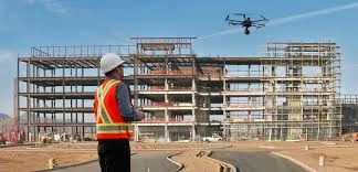
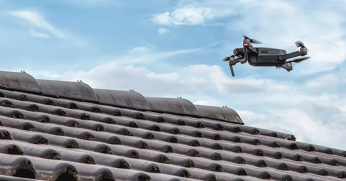
Roof & Exterior Documentation
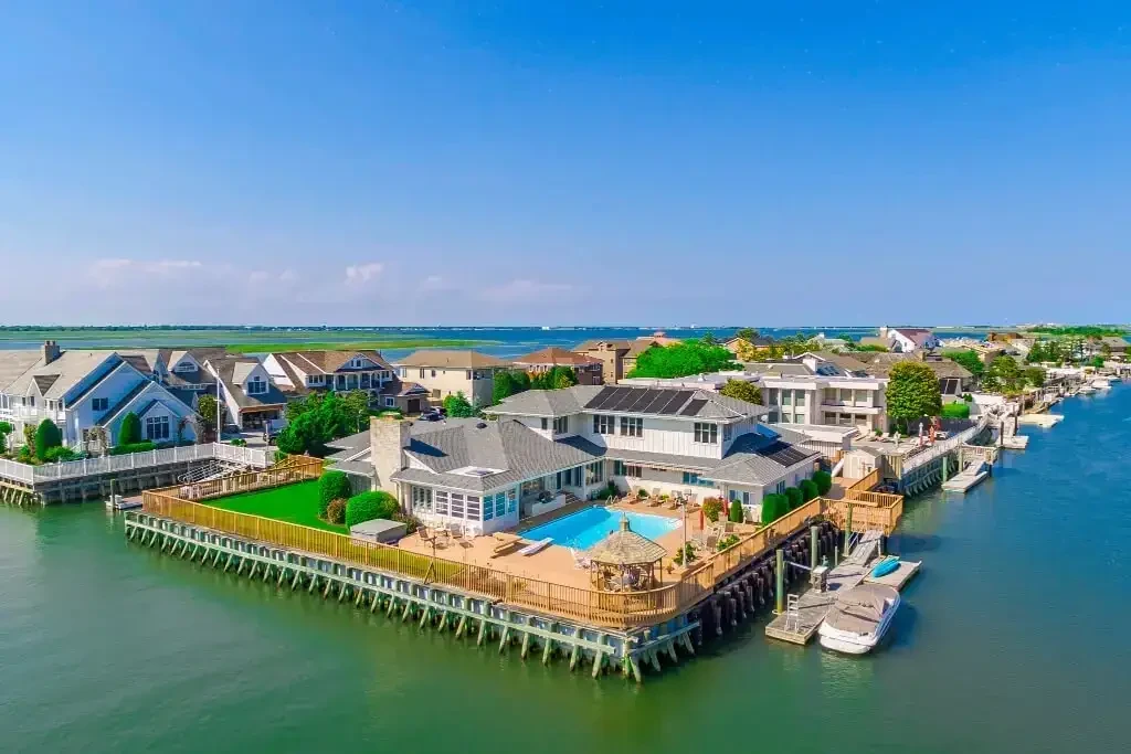
High-resolution aerial roof and exterior imagery for hard-to-access areas, storm follow-up, claims support, maintenance planning, and contractor documentation.
Typical clients
Roofers, insurance professionals, property managers, HOAs, real estate investors, attorneys, and homeowners.
Value delivered
Reduces ladder time, improves documentation speed, captures angles that ground photos miss, and creates a clearer visual record for decision-makers.
Example deliverables
- Roof slope, ridge, flashing, valley, and exterior elevation imagery
- Pre-repair / post-repair photo sets
- Storm damage documentation integrated with meteorological timeline when needed