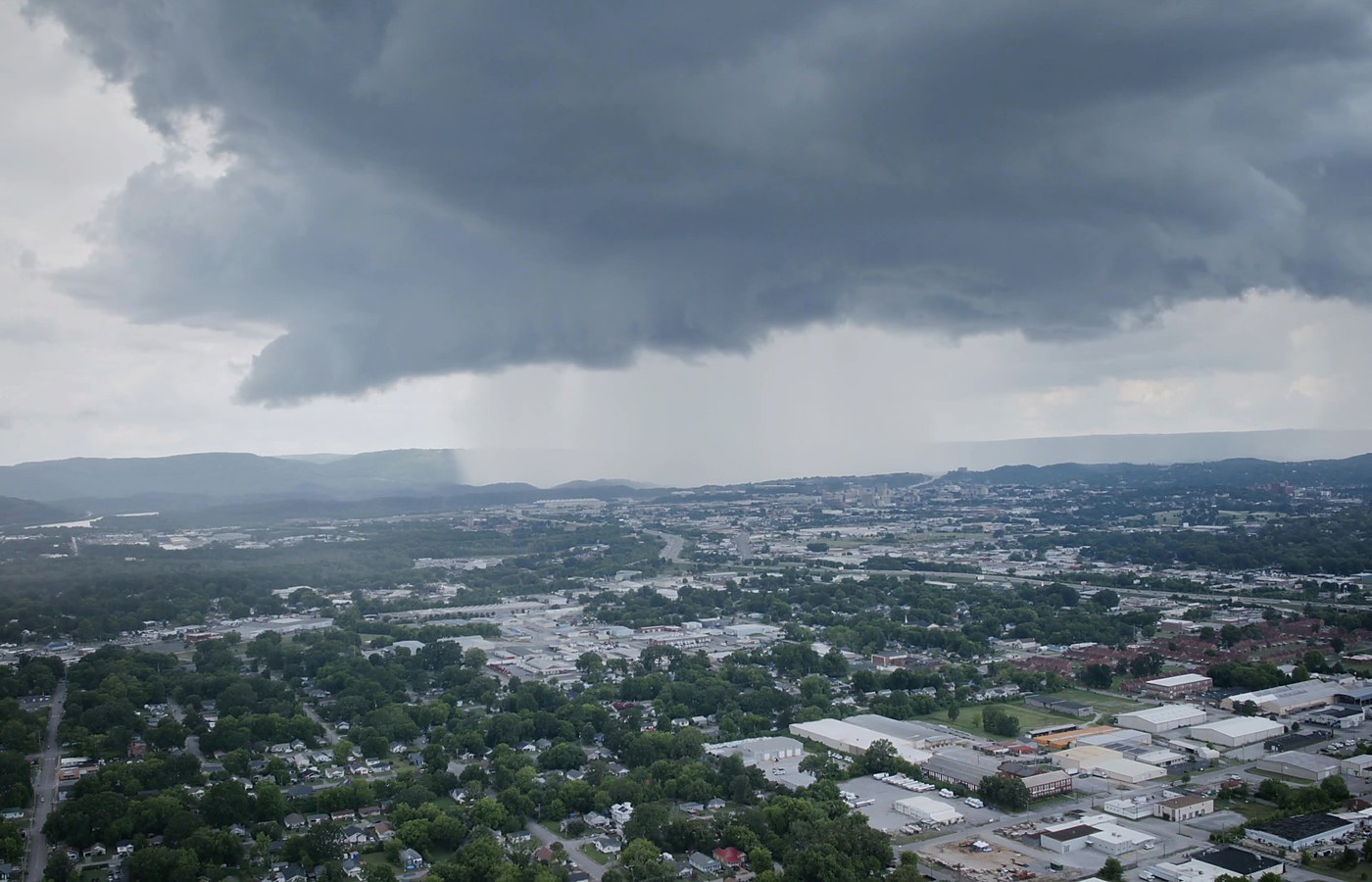
Review storm timing, radar, warnings, observations, storm reports, and local exposure for wind, hail, rainfall, lightning, tropical systems, and flooding.
Meteorology Consulting • Forensic Weather Analysis • Aerial Documentation
Weather Intelligence Built for Decisions, Courtrooms & Aerial Evidence.
A veteran-owned, meteorologist-led consulting firm helping clients understand what weather did at a specific place and time — and how to document it clearly for claims, legal matters, property decisions, events, infrastructure, and field operations.
Meteorologist-LedForecasts, observations, radar, warnings, and storm reports translated into clear findings.
FAA UAS PilotFAA Part 107 remote pilot support for aerial documentation, site imagery, and visual context.
Veteran-OwnedMission-focused work, disciplined documentation, and professional communication.
Forensic Weather AnalysisExpert Witness SupportStorm Damage ReviewSpecialized ForecastsOutdoor Event ForecastingWBGT MonitoringClimate Risk ReportsFAA Certified UAS PilotAerial Documentation3D Building ImageryFPV 360 FlythroughsConstruction ProgressRoof ClaimsReal Estate Aerial MediaOperational Weather BriefingsTampa Bay Based • Nationwide Remote
Main Service Lanes
Three focused service lanes. One integrated weather-and-evidence approach.
EKAS is built around the way clients actually need help: understanding the weather, reconstructing what happened, and documenting the site with clear visual evidence when aerial imagery adds value.
 01
01
Consulting Meteorology
Custom forecast interpretation, operational briefings, event weather support, WBGT/heat guidance, tropical weather context, and decision support for weather-sensitive projects.
Best for: events, operations, planning, safety, and weather-risk decisions. 02
02
Forensic Meteorology
Storm reconstruction, historical weather analysis, radar review, official records, storm reports, warnings, and timeline development for claims, disputes, property damage, and legal matters.
Best for: insurance, legal, property-loss, roof, flood, wind, hail, and storm cases. 03
03
Aerial Evidence
FAA Part 107 aerial documentation for roofs, storm damage, land, exterior conditions, construction progress, infrastructure, real estate, and post-event site context.
Best for: visual documentation, site context, claim support, real estate, and inspections.
Combined Packages
When the case calls for both the weather story and the visual evidence.
Some projects need more than a weather report and more than drone photos. EKAS can combine forensic meteorology with aerial documentation so the final product connects the timeline, radar and official records, site conditions, and visual context in one organized package.
- Storm timeline + roof or property imagery
- Radar/records review + aerial site documentation
- Claim or case screen + report-ready visual exhibits
- Weather briefing + field documentation support

Professional Credentials
Veteran-owned. Meteorologist-led. FAA Part 107 UAS pilot.
A small but important part of the EKAS identity: disciplined service, careful documentation, technical meteorology, and client-ready communication.
Veteran-Owned Business
Meteorologist-Led Analysis
FAA UAS Pilot
Tampa Bay Based
The Heart of EKAS
EKAS exists to turn weather confusion into clear, defensible decisions.
Weather can be the missing piece in a property claim, legal dispute, outdoor event decision, construction delay, real estate investment, or post-storm documentation project. EK Atmospheric Solutions was built to close that gap with technical meteorology, professional communication, and practical site-level context.
Instead of handing clients a pile of raw weather records or a folder of drone photos, EKAS focuses on the actual question: what happened, where it happened, when it happened, how it affected the location, and what evidence is needed to explain it clearly.
Site-specific analysis
Clear exhibits
Professional deliverables
Florida-based, nationwide remote support
From storm timeline to client-ready explanation.
Weather records, radar, warnings, surface observations, storm reports, site imagery, and plain-language findings organized into a usable product.
What Clients Need Answered
EKAS is built around the questions that matter in real situations.
EKAS focuses on practical, location-specific questions for property owners, attorneys, insurers, real estate professionals, event teams, construction interests, and weather-sensitive operations.
Translate public weather data into a chronology that decision makers can understand and use.
Capture roof, exterior, land, construction, infrastructure, or post-storm site context with aerial imagery when appropriate.
Summarize hurricane, rainfall, flood, wind, heat, and severe-storm exposure in plain language for real estate and asset decisions.
Support decisions around lightning, wind, rainfall, tropical weather, heat stress, and WBGT risk.
Start with a quick screen, then scale to a memo, formal report, exhibit package, weather briefing, or aerial documentation product.
Focused Service Paths
Clear services without the clutter.
EKAS supports a range of weather-sensitive clients, but the work is organized into practical service paths so the right deliverable is easier to choose.
 Forensic Weather & Claims
Storm timelines, property-loss context, radar review, and report-ready weather interpretation.
Weather Consulting
Forecast briefings, event support, climate/property risk context, and operational decision support.
Aerial Documentation
Site imagery for roofs, real estate, construction, storm documentation, infrastructure, and visual exhibits.
Forensic Weather & Claims
Storm timelines, property-loss context, radar review, and report-ready weather interpretation.
Weather Consulting
Forecast briefings, event support, climate/property risk context, and operational decision support.
Aerial Documentation
Site imagery for roofs, real estate, construction, storm documentation, infrastructure, and visual exhibits.
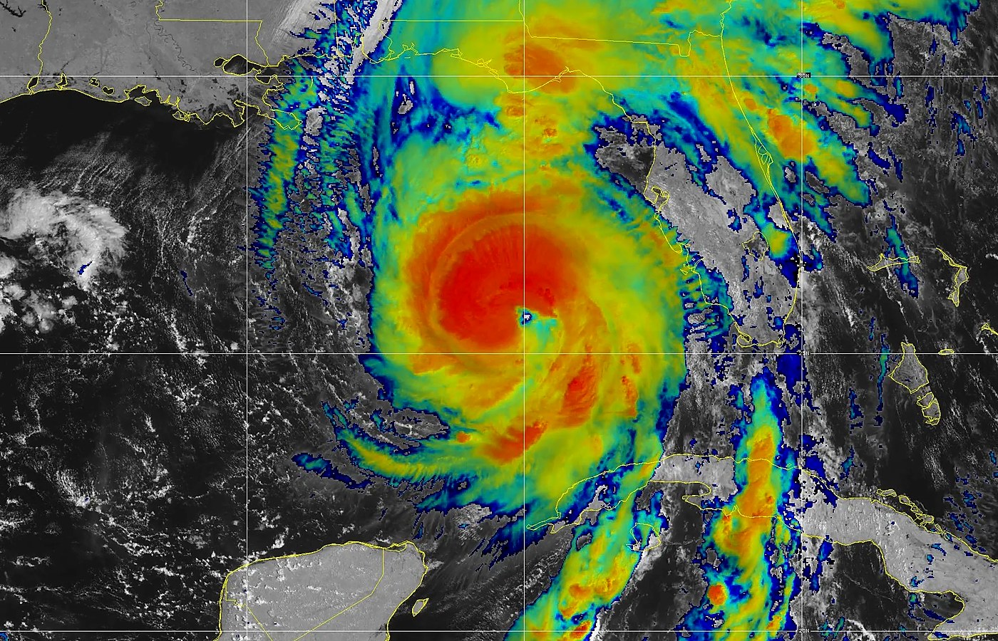
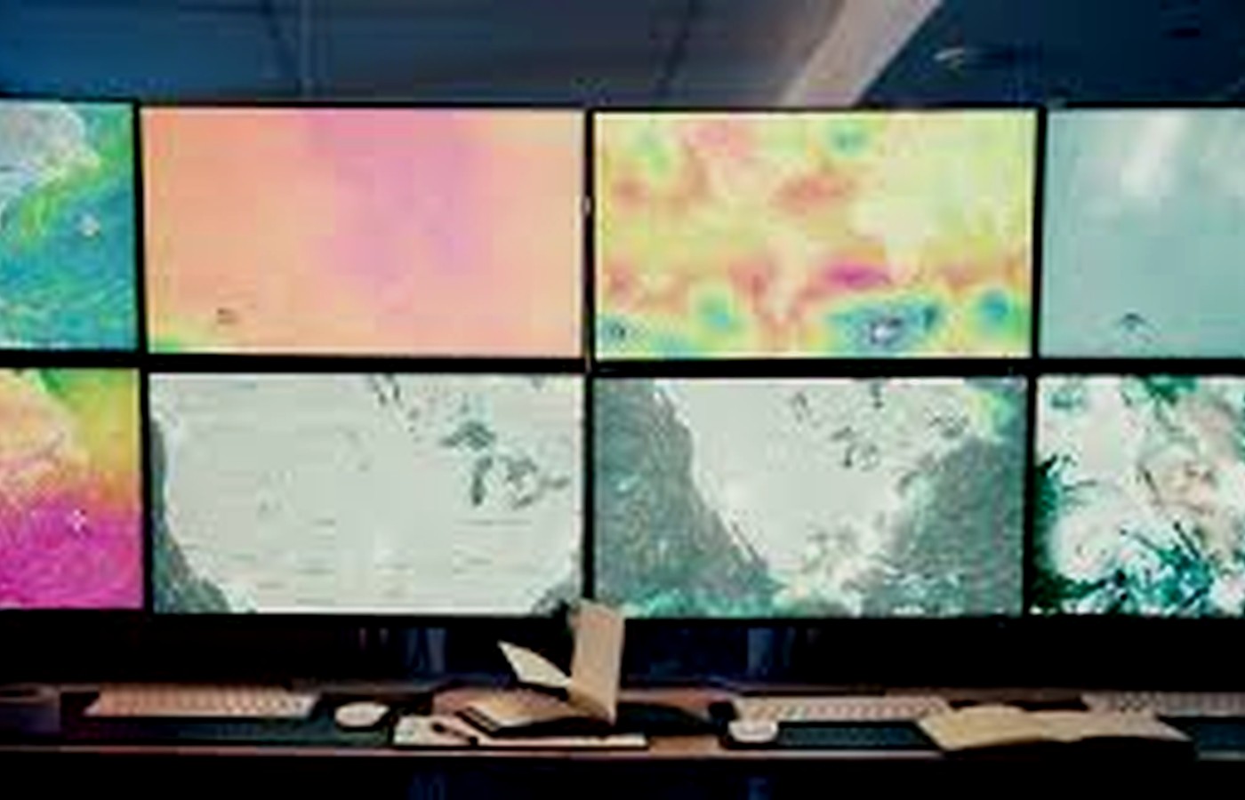 Operational Weather Center
Radar, satellite, tropical weather, HRRR future radar, NWS products, and local forecast tools.
Operational Weather Center
Radar, satellite, tropical weather, HRRR future radar, NWS products, and local forecast tools.
How EKAS Helps
Professional weather support should be specific, traceable, and easy to understand.
Competent weather consulting is not just data collection. It requires scope control, reliable sources, a clear timeline, defensible interpretation, visual communication, and a final product matched to the client’s decision.
Define the question
Identify the property, event, date/time window, hazard type, client goal, and the level of documentation needed.
Build the weather record
Use observations, radar, satellite, warnings, storm reports, model guidance, archives, and climatology where appropriate.
Connect data to location
Translate regional weather information into site-specific context, especially for claims, events, real estate, and infrastructure.
Document the site
When aerial work is part of the scope, capture visuals that support the weather question rather than disconnected imagery.
Deliver it clearly
Provide a concise product: screening memo, formal report, exhibit set, briefing, aerial package, or consulting summary.
Support the next decision
Help the client decide whether to proceed, document further, retain an expert, prepare a claim, adjust operations, or request monitoring.
What Clients Receive
Clear deliverables built around the decision, not just the data.
EKAS can scale the work from a quick screen to a formal report, depending on the issue, deadline, budget, and level of documentation needed.
Initial Weather Screen
A fast review of the location, date, hazard, and available records to determine whether a deeper analysis makes sense.
Forensic Weather Memo or Report
Storm timelines, radar interpretation, official observations, warnings, storm reports, and clear findings organized for claims, cases, or property decisions.
Aerial Documentation Package
FAA Part 107 aerial imagery and site visuals for property context, storm documentation, roofs, exterior conditions, land, construction, or infrastructure.
Forecast Briefing & Decision Support
Weather guidance for outdoor events, heat/WBGT decisions, field operations, tropical threats, wind, lightning, rainfall, and severe-weather planning.
Common Case & Project Types
Property, legal, insurance, event, real estate, and operational weather support.
These examples give visitors a clearer sense of where EKAS fits without repeating the same credentials over and over.
Storm damage and roof claims
Wind, hail, tornado, lightning, rainfall, flooding, hurricane, and tropical-weather context for claim screening and report support.
Slip, fall, roadway, and incident weather
Rain, temperature, wind, visibility, lightning, snow/ice where applicable, and time-specific condition review for incidents and disputes.
Real estate and property risk
Hurricane, flood, rainfall, heat, wind, drainage, and coastal exposure context for buyers, investors, managers, and owners.
Construction and infrastructure
Weather delays, storm impacts, site documentation, utility corridors, towers, solar sites, equipment yards, and exposed assets.
Outdoor events and field operations
Lightning, wind, rainfall, heat stress, tropical weather, and WBGT monitoring for go/no-go and safety decisions.
Report exhibits and visual packages
Clear visuals for weather timelines, radar snapshots, site imagery, damage context, and client-facing deliverables.
Practical Support Areas
Weather and aerial support for property, legal, insurance, events, and real estate.
EKAS is designed for clients who need a practical explanation of weather impacts at a specific location — and when useful, visual documentation to support that story.
Wind, hail, tornado, lightning, rainfall, flooding, hurricane, tropical-weather, and roof/exterior context.
Weather-record review, storm chronology, exhibits, limitations, source documentation, and report-ready findings.
Hurricane, flood, wind, heat, rainfall, coastal exposure, drainage, site context, and property decision support.
Lightning, wind, rain, tropical weather, heat stress, WBGT, and threshold-based weather planning.
Contact EKAS
Start with the location, date, weather concern, and what you need to decide.
EK Atmospheric Solutions is based in the Tampa Bay area and serves clients throughout Florida. Remote case review, consulting support, weather record analysis, and report preparation are also available for matters across the United States.
For time-sensitive storm, claim, event, or aerial documentation requests, include the address or coordinates, date/time window, hazard type, and any deadlines.
WBGT Heat Safety Tool
Operational heat-risk guidance for outdoor work, sports, events, and field operations.
The WBGT center translates heat, humidity, wind, sun angle, and exposure into more useful heat-stress decision guidance than air temperature alone.
Free Initial Consultation
Schedule Free Consultation
Start with a free 20-minute fit call.
Use the initial consultation to explain the matter, confirm whether EKAS is a good fit, identify any potential conflicts of interest, and clarify the service, report, aerial documentation, or weather question you need answered.
The initial call is preliminary only and does not include a formal meteorological opinion, written report, testimony opinion, or claim/case conclusion.